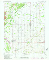
1964 Map of Richland City
USGS Topo · Published 1981About this map
Richland City and Hatfield serve as central nodes in this survey of southwestern Spencer County, where the landscape is defined by the winding course of Little Pigeon Creek and a dense network of agricultural drainage. The 1964 mapping, with 1980 photorevisions, captures a rural economy transitioning through the mid-century, evidenced by scattered Oil Wells and a prominent Gravel Pit near Sand Ridge.
Find a feature on this map
60 named features on this map. Tap any name to fly to it.
Don’t see what you’re looking for? This feature index may not catch every label — zoom into the map to look around manually.
Map Details
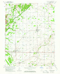
Editions of this 1964 Richland City Map
2 editions found
Other maps of this area

1900 · De Gonia Springs
USGS Topo · 1:62,500

1901 · Owensboro
USGS Topo · 1:62,500

1902 · Ditney
USGS Topo · 1:125,000

1902 · Degonia Springs
USGS Topo · 1:62,500

1902 · Boonville
USGS Topo · 1:62,500

1905 · Newburg
USGS Topo · 1:62,500

1951 · Yankeetown
USGS Topo · 1:24,000

1952 · Owensboro East
USGS Topo · 1:24,000

1952 · Rockport
USGS Topo · 1:24,000

1952 · Owensboro West
USGS Topo · 1:24,000