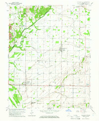
1964 Map of Richland City
USGS Topo · Published 1965About this map
Little Pigeon Creek meanders along the border of Warrick and Spencer counties, defining a landscape of managed drainage and small agricultural settlements in the mid-1960s. The area is characterized by an extensive network of ditches and drains, such as McCoy Drain and Grass Drain, which support the low-lying terrain near Willow Pond Bed. This survey documents a quiet rural economy where coal extraction is evident at the Strip Mine north of New Hope, and local education and faith are centered at landmarks like Luce Sch and Ebenezer Ch. The infrastructure of the era is captured through the Old Railroad Grade and numerous oil wells scattered across the townships of Luce and Ohio, while several family-named burial grounds like Graff Cem and Boyd Cem provide valuable touchpoints for genealogical research.
Find a feature on this map
46 named features on this map. Tap any name to fly to it.
Don’t see what you’re looking for? This feature index may not catch every label — zoom into the map to look around manually.
Map Details
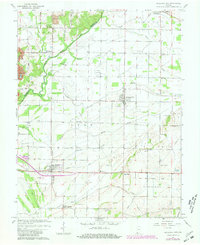
Editions of this 1964 Richland City Map
2 editions found
Other maps of this area

1900 · De Gonia Springs
USGS Topo · 1:62,500

1901 · Owensboro
USGS Topo · 1:62,500

1902 · Ditney
USGS Topo · 1:125,000

1902 · Degonia Springs
USGS Topo · 1:62,500

1902 · Boonville
USGS Topo · 1:62,500

1905 · Newburg
USGS Topo · 1:62,500

1951 · Yankeetown
USGS Topo · 1:24,000

1952 · Owensboro East
USGS Topo · 1:24,000

1952 · Rockport
USGS Topo · 1:24,000

1952 · Owensboro West
USGS Topo · 1:24,000