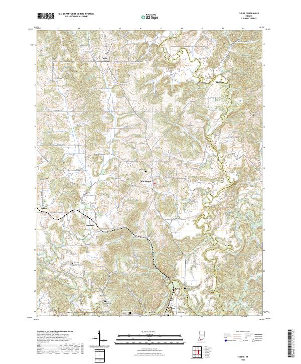
2022 Map of Fulda
USGS Topo · Published 2022About this map
The Anderson River meanders across the border of Spencer and Perry counties, defining a landscape where rural settlements and family burial grounds are densely concentrated. The topography is marked by the winding courses of Crooked Creek and the Middle Fork Anderson River, which historically dictated the placement of early communities like New Boston and Evanston. For genealogists, the map is particularly valuable for its documentation of numerous small cemeteries, including Huffman Cem, Avery Cem, and Purcell Cem, which are often the only remaining physical markers of the area's earliest settlers. In the southern portion of the quadrangle, the terrain shifts toward the settlement of Troy near the riverbank, while the northern sections are anchored by the crossroads community of Fulda. The network of county roads, such as N Huffman Mill Rd and N Avery Ridge Rd, follows the ridges and valleys between these historical hubs.
Find a feature on this map
75 named features on this map. Tap any name to fly to it.
Don’t see what you’re looking for? This feature index may not catch every label — zoom into the map to look around manually.
Map Details
Editions of this 2022 Fulda Map
This is the sole edition of this map. No revisions or reprints were ever made.
Other maps of this area

1900 · St Meinrad
USGS Topo · 1:62,500

1903 · St. Meinrad
USGS Topo · 1:62,500

1903 · Tell City
USGS Topo · 1:62,500

1934 · Cannelton
USGS Topo · 1:62,500

1949 · Cannelton
USGS Topo · 1:24,000

1953 · Cannelton
USGS Topo · 1:24,000

1953 · Lewisport
USGS Topo · 1:24,000

1953 · Tell City
USGS Topo · 1:24,000

1954 · Evansville
USGS Topo · 1:250,000

1956 · Vincennes
USGS Topo · 1:250,000