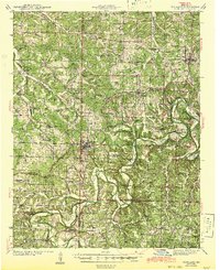
1943 Map of Richland
USGS Topo · Published 1943About this map
Richland sits as a central hub on this mid-century survey, its street grid and rail siding positioned prominently along the St Louis San Francisco railroad. The surrounding landscape of Pulaski, Camden, and Laclede counties is defined by the winding course of the Gasconade River, which creates dramatic terrain features such as The Narrows and Red Bluff. This era shows a dense network of one-room schoolhouses and country churches that served the rural farming and timber communities, including uniquely named sites like Buzzard Roost Sch and Wair Chapel.
Find a feature on this map
83 named features on this map. Tap any name to fly to it.
Don’t see what you’re looking for? This feature index may not catch every label — zoom into the map to look around manually.
Map Details
Editions of this 1943 Richland Map
This is the sole edition of this map. No revisions or reprints were ever made.
Other maps of this area

1888 · Versailles
USGS Topo · 1:125,000

1888 · Tuscumbia
USGS Topo · 1:125,000

1893 · Versailles
USGS Topo · 1:125,000

1894 · Tuscumbia
USGS Topo · 1:125,000
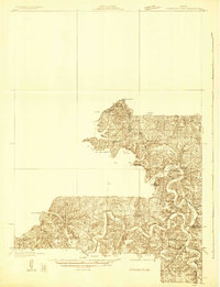
1932 · Versailles No 4
USGS Topo · 1:48,000
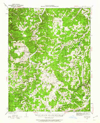
1933 · Stoutland
USGS Topo · 1:62,500
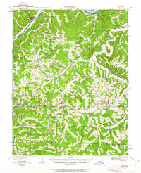
1933 · Iberia
USGS Topo · 1:62,500
1934 · Toronto
USGS Topo · 1:24,000
1936 · Waynesville
USGS Topo · 1:48,000
1937 · Iberia
USGS Topo · 1:62,500