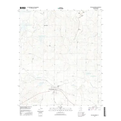
2016 Map of Richland Springs
USGS Topo · Published 2016About this map
The town of Richland Springs serves as the focal point for this 2016 survey of San Saba County, organized around a traditional street grid featuring Park Ave and Commerce St. The surrounding landscape is characterized by a complex network of dry draws and watercourses, including the central Richland Springs Cr and the northern Wilbarger Cr. Significant water management is evident through the Lower San Saba Watershed Reservoir and a series of Southeast Laterals Watershed Reservoirs.
Find a feature on this map
56 named features on this map. Tap any name to fly to it.
Don’t see what you’re looking for? This feature index may not catch every label — zoom into the map to look around manually.
Map Details
Editions of this 2016 Richland Springs Map
This is the sole edition of this map. No revisions or reprints were ever made.
Other maps of this area

1885 · San Saba
USGS Topo · 1:125,000

1894 · Brady
USGS Topo · 1:125,000

1894 · San Saba
USGS Topo · 1:125,000

1925 · San Saba 2-a
USGS Topo · 1:48,000

1925 · Brady 1-a
USGS Topo · 1:48,000

1925 · San Saba 2-b
USGS Topo · 1:48,000

1928 · Mercury
USGS Topo · 1:62,500

1930 · Richland Springs
USGS Topo · 1:62,500

1948 · Richland Springs
USGS Topo · 1:62,500

1950 · Mercury
USGS Topo · 1:62,500