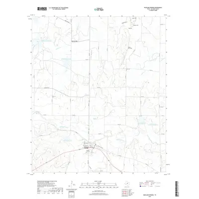
2019 Map of Richland Springs
USGS Topo · Published 2019About this map
Richland Springs serves as the focal point of this San Saba County landscape, situated where Richland Springs Cr winds through the central Texas terrain. The town's grid is detailed with locally significant landmarks such as Richland Springs Cem, a municipal fire station, and a network of residential streets including W Stratton and Commerce St. North of the town, the settlement of Skeeterville sits near the upper reaches of Wilbarger Cr, while the rugged geography of the region is defined by features like the Shiloh Mtn Chain, Hooten Hollow, and Hog Pass. The map highlights a significant water management infrastructure, including the Lower San Saba Watershed Reservoir and the Soil Conservation Service Site 9 Reservoir, illustrating the mid-century efforts to control runoff and support local agriculture in this semi-arid ranching country.
Find a feature on this map
50 named features on this map. Tap any name to fly to it.
Don’t see what you’re looking for? This feature index may not catch every label — zoom into the map to look around manually.
Map Details
Editions of this 2019 Richland Springs Map
This is the sole edition of this map. No revisions or reprints were ever made.
Other maps of this area

1885 · San Saba
USGS Topo · 1:125,000

1894 · Brady
USGS Topo · 1:125,000

1894 · San Saba
USGS Topo · 1:125,000

1925 · San Saba 2-a
USGS Topo · 1:48,000

1925 · Brady 1-a
USGS Topo · 1:48,000

1925 · San Saba 2-b
USGS Topo · 1:48,000

1928 · Mercury
USGS Topo · 1:62,500

1930 · Richland Springs
USGS Topo · 1:62,500

1948 · Richland Springs
USGS Topo · 1:62,500

1950 · Mercury
USGS Topo · 1:62,500