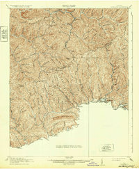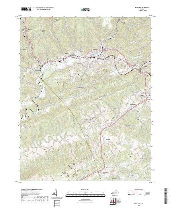
2022 Map of Richlands
USGS Topo · Published 2022About this map
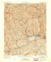
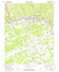
The Clinch River carves a path through this part of the Appalachian plateau, anchoring a string of valley settlements including Richlands, Doran, and Raven. The 2022 landscape is defined by the tight relationship between the river corridor and the Norfolk Southern railway, which historically supported the regional coal and timber industries. Higher elevations like House and Barn Mtn and Kents Ridge hem in the developed lowlands, where several significant community sites are located, such as Southwest Virginia Community College and the Tazewell County Airport. Local history is preserved in numerous family and community burial grounds, including Clinch Valley Memorial Cem, Vance Cem, and Hankins Cem, which sit alongside the residential expansions of Birmingham and Cedar Bluff. This map captures the modern infrastructure and rugged topography of the Tazewell County and Russell County border.
Find a feature on this map
158 named features on this map. Tap any name to fly to it.
Don’t see what you’re looking for? This feature index may not catch every label — zoom into the map to look around manually.
Map Details
Editions of this 2022 Richlands Map
This is the sole edition of this map. No revisions or reprints were ever made.
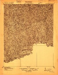
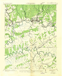
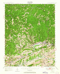
Historical Maps of Daw Through Time
7 maps found