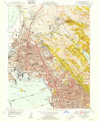
1949 Map of Richmond
USGS Topo · Published 1949About this map
Richmond and its industrial waterfront dominate this postwar landscape, where the heavy rail lines of the Southern Pacific and the Atchison Topeka and Santa Fe converge near the Richmond Inner Harbor. The map reveals a dense network of neighborhoods defined by a massive postwar educational infrastructure, including schools like Richmond Evening School, Nystrom Sch, and the Chung Mei Boys Home.
Find a feature on this map
94 named features on this map. Tap any name to fly to it.
Don’t see what you’re looking for? This feature index may not catch every label — zoom into the map to look around manually.
Map Details
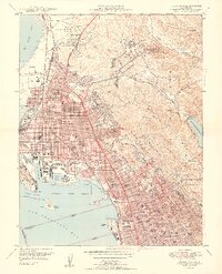
Editions of this 1949 Richmond Map
2 editions found
Other maps of this area

1895 · San Francisco
USGS Topo · 1:62,500

1896 · Carquinez Strait
USGS Topo · 1:62,500

1897 · Concord
USGS Topo · 1:62,500

1898 · Karquines
USGS Topo · 1:62,500

1899 · San Francisco
USGS Topo · 1:62,500

1901 · Karquines
USGS Topo · 1:62,500

1902 · Napa
USGS Topo · 1:125,000

1915 · Concord
USGS Topo · 1:62,500

1915 · San Francisco
USGS Topo · 1:62,500

1916 · Mare Island
USGS Topo · 1:62,500