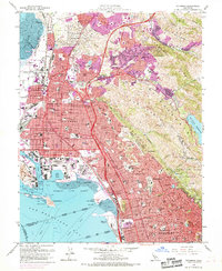
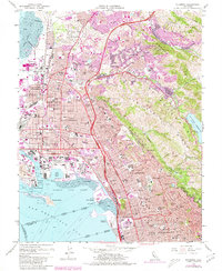
1959 Map of Richmond
USGS Topo · Published 1969About this map
Richmond and the industrial East Bay waterfront are captured here during a period of significant postwar expansion, particularly visible in the suburban growth around El Sobrante and the San Pablo Ridge. The map shows a landscape defined by heavy industry and transportation, anchored by the Richmond Yard and the extensive San Pablo Tank Farm. The shoreline is heavily modified, featuring the Santa Fe Channel, several shipyards, and the Richmond Inner Harbor.
Find a feature on this map
107 named features on this map. Tap any name to fly to it.
Don’t see what you’re looking for? This feature index may not catch every label — zoom into the map to look around manually.
Map Details
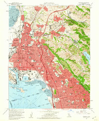
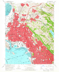
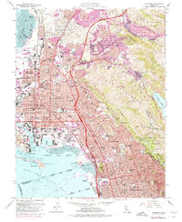
Editions of this 1959 Richmond Map
5 editions found
Other maps of this area

1895 · San Francisco
USGS Topo · 1:62,500

1896 · Carquinez Strait
USGS Topo · 1:62,500

1897 · Concord
USGS Topo · 1:62,500

1898 · Karquines
USGS Topo · 1:62,500

1899 · San Francisco
USGS Topo · 1:62,500

1901 · Karquines
USGS Topo · 1:62,500

1902 · Napa
USGS Topo · 1:125,000

1915 · Concord
USGS Topo · 1:62,500

1915 · San Francisco
USGS Topo · 1:62,500

1916 · Mare Island
USGS Topo · 1:62,500