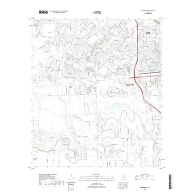
2019 Map of Richmond NE
USGS Topo · Published 2019About this map
Buffalo Bayou and Oyster Creek wind through this transitional landscape where the suburban expansion of western Houston meets the historic river-bottom lands of the Harris and Fort Bend County line. The map captures the dense residential development of Cinco Ranch in the northeast, contrasting sharply with the more traditional rural patterns found near Foster and the archaeological landmark at Huntington Mound. Local history is preserved in small burial sites such as Briscoe Cem and Goss Cem, while the aviation needs of the era are represented by Covey Trails Airport. This 2019 survey documents a rapidly evolving region where established ranching history and modern master-planned communities occupy the same river plains.
Find a feature on this map
261 named features on this map. Tap any name to fly to it.
Don’t see what you’re looking for? This feature index may not catch every label — zoom into the map to look around manually.
Map Details
Editions of this 2019 Richmond NE Map
This is the sole edition of this map. No revisions or reprints were ever made.
Other maps of this area

1915 · Katy
USGS Topo · 1:24,000

1915 · Addicks
USGS Topo · 1:24,000

1915 · Clodine
USGS Topo · 1:24,000

1918 · Addicks
USGS Topo · 1:31,680

1919 · Clodine
USGS Topo · 1:31,680

1950 · Houston
USGS Topo · 1:250,000
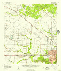
1955 · Addicks
USGS Topo · 1:62,500

1955 · Sugar Land
USGS Topo · 1:62,500

1955 · Brookshire
USGS Topo · 1:62,500

1955 · Richmond
USGS Topo · 1:62,500