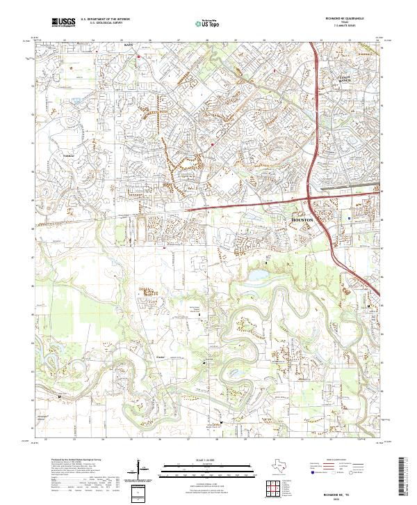
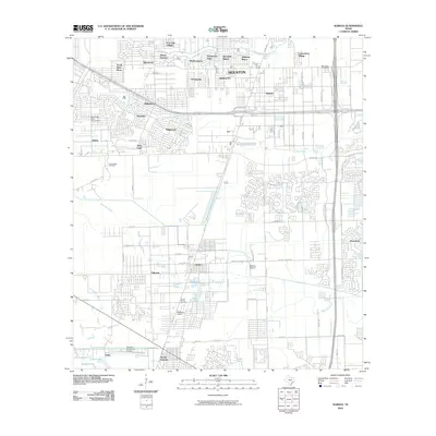
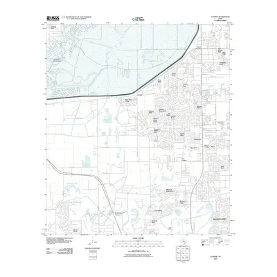
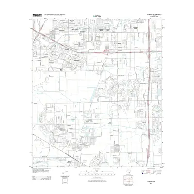
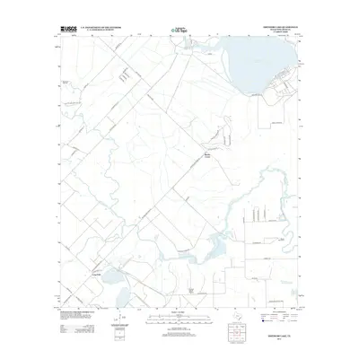
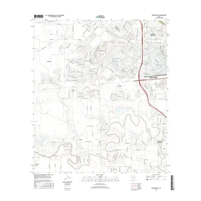
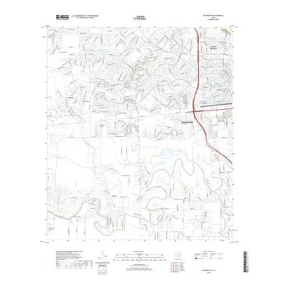
2022 Map of Richmond NE
USGS Topo · Published 2022About this map
Foster and the surrounding Fort Bend plains represent a landscape in transition, where legacy agricultural lands and family cemeteries meet the expanding residential footprint of Houston. The sheet is notably dense with small family and church burial grounds, including the Gaston-White Cem, Briscoe Cem, and Goss Cem, which offer significant data points for genealogists tracing the early settlement of this region. These sites are scattered near the winding paths of Flewellen Cr and Oyster Creek, waterways that historically dictated the placement of farms and homesteads before the modern suburban grid arrived.
Find a feature on this map
28 named features on this map. Tap any name to fly to it.
Don’t see what you’re looking for? This feature index may not catch every label — zoom into the map to look around manually.
Map Details
Editions of this 2022 Richmond NE Map
This is the sole edition of this map. No revisions or reprints were ever made.
Historical Maps of Houston Through Time
37 maps found

1915 Clodine
Fort Bend County, TX
1919 Clodine
Fort Bend County, TX
1920 Almeda
Fort Bend County, TX
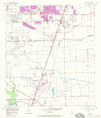
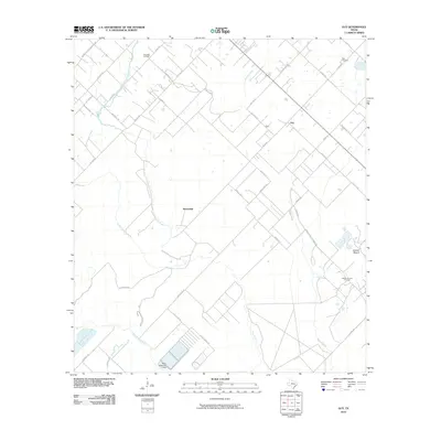
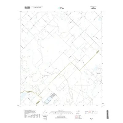
1953 Guy
Fort Bend County, TX
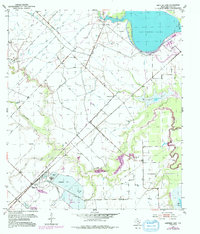
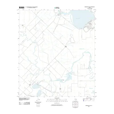
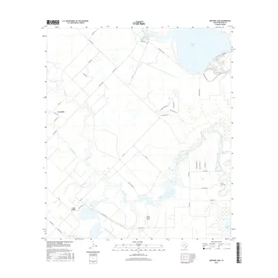
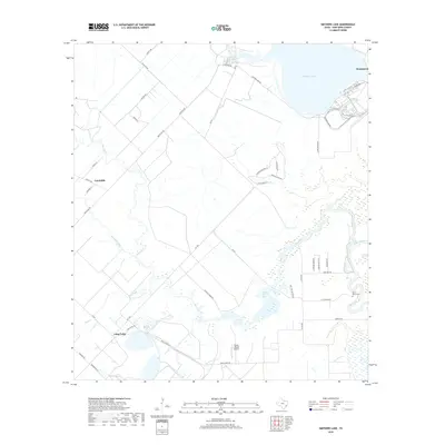
1953 Smithers Lake
Fort Bend County, TX
1955 Almeda
Fort Bend County, TX

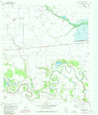
1970 Clodine
Fort Bend County, TX
1971 Richmond NE
Fort Bend County, TX

1982 Almeda
Fort Bend County, TX

1982 Clodine
Fort Bend County, TX

1995 Almeda
Fort Bend County, TX

1995 Clodine
Fort Bend County, TX
2010 Almeda
Fort Bend County, TX
2010 Clodine
Fort Bend County, TX
2010 Guy
Fort Bend County, TX
2010 Richmond NE
Fort Bend County, TX
2010 Smithers Lake
Fort Bend County, TX
2013 Almeda
Fort Bend County, TX
2013 Clodine
Fort Bend County, TX
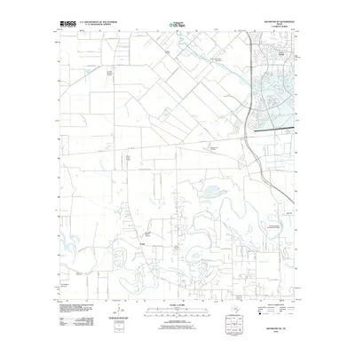
2013 Guy
Fort Bend County, TX
2013 Richmond NE
Fort Bend County, TX
2013 Smithers Lake
Fort Bend County, TX
2016 Almeda
Fort Bend County, TX
2016 Clodine
Fort Bend County, TX
2016 Guy
Fort Bend County, TX
2016 Richmond NE
Fort Bend County, TX
2016 Smithers Lake
Fort Bend County, TX
2019 Almeda
Fort Bend County, TX
2019 Clodine
Fort Bend County, TX
2019 Guy
Fort Bend County, TX
2019 Richmond NE
Fort Bend County, TX
2019 Smithers Lake
Fort Bend County, TX

2022 Almeda
Fort Bend County, TX

2022 Clodine
Fort Bend County, TX
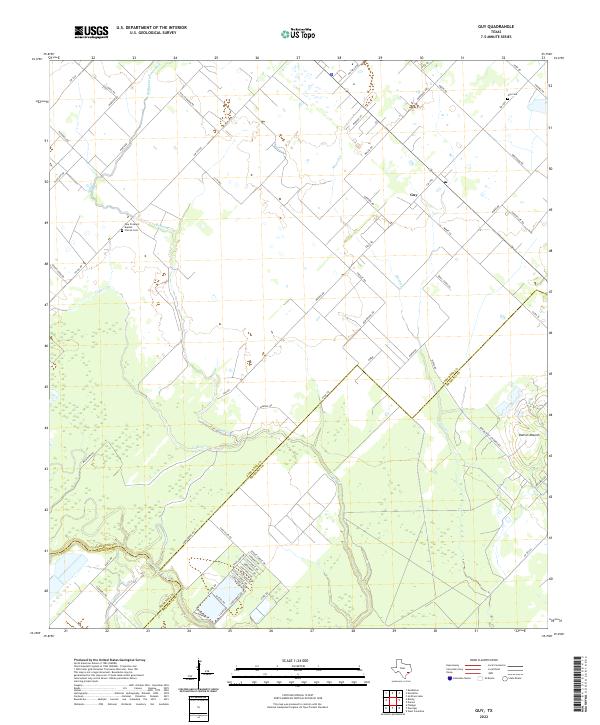
2022 Guy
Fort Bend County, TX
2022 Richmond NE
Fort Bend County, TX
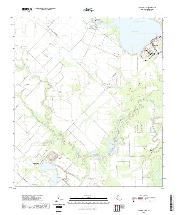
2022 Smithers Lake
Fort Bend County, TX