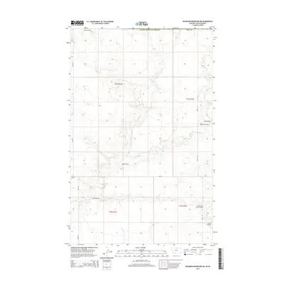
2014 Map of Richmond Reservoir NW
USGS Topo · Published 2014About this map
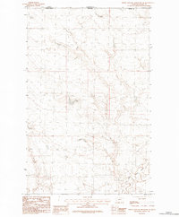
E Fork Battle Cr defines the drainage patterns of this high plains landscape along the international border between the United States of America and Canada. The terrain is deeply etched by a network of ephemeral watercourses and coulees that reveal the intricate natural irrigation of Blaine County. Notable amongst these are Lyons Coulee and Corral Coulee, which snake across the township grids of t37n r19e and t36n r19e.
Find a feature on this map
16 named features on this map. Tap any name to fly to it.
Don’t see what you’re looking for? This feature index may not catch every label — zoom into the map to look around manually.
Map Details
Editions of this 2014 Richmond Reservoir NW Map
This is the sole edition of this map. No revisions or reprints were ever made.
Other maps of this area

1912 · Zurich
USGS Topo · 1:125,000

1953 · Havre
USGS Topo · 1:250,000

1957 · Havre
USGS Topo · 1:250,000

1958 · Havre
USGS Topo · 1:250,000

1984 · Richmond Reservoir
USGS Topo · 1:24,000
1984 · Richmond Reservoir SW
USGS Topo · 1:24,000

1984 · Havre
USGS Topo · 1:100,000
1984 · Richmond Reservoir NE
USGS Topo · 1:24,000
1984 · Richmond Reservoir NW
USGS Topo · 1:24,000
1984 · North Chinook Reservoir NE
USGS Topo · 1:24,000