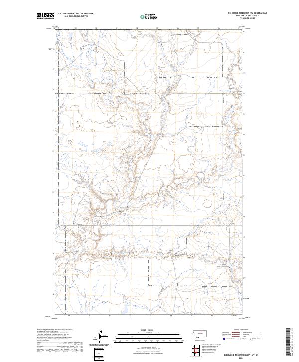
2024 Map of Richmond Reservoir NW
USGS Topo · Published 2024About this map
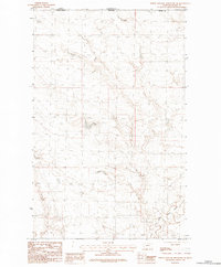
Blaine County's northern plains are defined by a network of drainage channels and remote section-line roads in this contemporary landscape. The topography is dominated by the winding path of Lyons Coulee and Corral Coulee, which carve through the high prairie. The map details the rural infrastructure of the early 21st century, including the remote Bagan Rd and Sage Rd that provide access across the townships. This survey serves as a precise record of the natural watershed, tracing the headwaters of the North Fork Corral Coulee and the deep incision of Sand Coulee along the eastern edge of the quadrangle. It illustrates the intersection of modern cartography with the traditional Public Land Survey System, showing the established grids of T37N R19E and T37N R20E.
Find a feature on this map
10 named features on this map. Tap any name to fly to it.
Don’t see what you’re looking for? This feature index may not catch every label — zoom into the map to look around manually.
Map Details
Editions of this 2024 Richmond Reservoir NW Map
This is the sole edition of this map. No revisions or reprints were ever made.
Other maps of this area

1912 · Zurich
USGS Topo · 1:125,000

1953 · Havre
USGS Topo · 1:250,000

1957 · Havre
USGS Topo · 1:250,000

1958 · Havre
USGS Topo · 1:250,000

1984 · Richmond Reservoir
USGS Topo · 1:24,000
1984 · Richmond Reservoir SW
USGS Topo · 1:24,000

1984 · Havre
USGS Topo · 1:100,000
1984 · Richmond Reservoir NE
USGS Topo · 1:24,000
1984 · Richmond Reservoir NW
USGS Topo · 1:24,000
1984 · North Chinook Reservoir NE
USGS Topo · 1:24,000