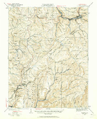
1935 Map of Richwood
USGS Topo · Published 1962About this map
The timber and coal country of the Allegheny Plateau is captured here during the mid-1930s, centered on the industrial hub of Richwood. Situated at the confluence of the Cherry River and its forks, the town is a focal point for the Chesapeake and Ohio railroad line, which snakes through the steep valleys to serve outlying settlements like Saxman and Fenwick. To the south, the landscape is defined by a dense network of mining and logging communities, including Quinwood, Marfrance, and Charmco, where the rail lines follow the narrow corridors of the Little Clear Creek Mountain range.
Find a feature on this map
164 named features on this map. Tap any name to fly to it.
Don’t see what you’re looking for? This feature index may not catch every label — zoom into the map to look around manually.
Map Details
Editions of this 1935 Richwood Map
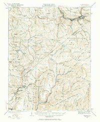
2 editions found
Other maps of this area

1887 · Hinton
USGS Topo · 1:125,000

1887 · Lewisburg
USGS Topo · 1:125,000

1889 · Nicholas
USGS Topo · 1:125,000

1891 · Lewisburg
USGS Topo · 1:125,000

1891 · Nicholas
USGS Topo · 1:125,000

1891 · Huntersville
USGS Topo · 1:125,000

1892 · Hinton
USGS Topo · 1:125,000

1894 · Huntersville
USGS Topo · 1:125,000

1901 · Nicholas
USGS Topo · 1:125,000

1912 · Meadow Creek
USGS Topo · 1:48,000