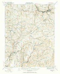
1935 Map of Richwood
USGS Topo · Published 1969About this map
Richwood sits at the confluence of the Fork Cherry River and the main Cherry River, serving as a vital hub for the timber and mining industries of Nicholas County. The 1930s landscape is defined by the heavy presence of the Chesapeake and Ohio railroad, which snakes through the valleys to reach industrial outposts like Quinwood and Marfrance. This era reflects a high density of rural infrastructure, with numerous one-room schools such as Bamboo School and Snow Hill School serving isolated mountain communities along the Nicholas Co Greenbrier Co line.
Find a feature on this map
170 named features on this map. Tap any name to fly to it.
Don’t see what you’re looking for? This feature index may not catch every label — zoom into the map to look around manually.
Map Details
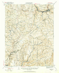
Editions of this 1935 Richwood Map
2 editions found
Other maps of this area

1887 · Hinton
USGS Topo · 1:125,000

1887 · Lewisburg
USGS Topo · 1:125,000

1889 · Nicholas
USGS Topo · 1:125,000

1891 · Lewisburg
USGS Topo · 1:125,000

1891 · Nicholas
USGS Topo · 1:125,000

1891 · Huntersville
USGS Topo · 1:125,000

1892 · Hinton
USGS Topo · 1:125,000

1894 · Huntersville
USGS Topo · 1:125,000

1901 · Nicholas
USGS Topo · 1:125,000

1912 · Meadow Creek
USGS Topo · 1:48,000