
1946 Map of Richwoods
USGS Topo · Published 1957About this map
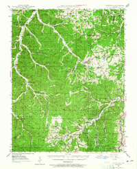
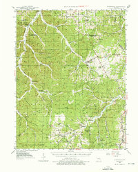
Old Mines and the settlement of Richwoods anchor this mid-century topographic study of the northeastern Ozarks. The landscape is defined by the winding course of the Mineral Fork and Indian Creek, where numerous rural schools like Ebo Sch and Hulsey Sch served a population dispersed among the hollows. The presence of Old Mines in the southeast corner reflects the region's deep lead-mining history, while the sprawling Clark National Forest covers much of the southern terrain. This era of the landscape is caught just before modern development, showing a complex network of creeks such as Fourche a Renault Creek and Turkey Creek alongside landmarks like the High Point Tower. Genealogists may find value in the specific locations of country churches and burial grounds, including Souls Chapel and the Fourche a Renault Cem.
Find a feature on this map
67 named features on this map. Tap any name to fly to it.
Don’t see what you’re looking for? This feature index may not catch every label — zoom into the map to look around manually.
Map Details
Editions of this 1946 Richwoods Map
3 editions found
Other maps of this area

1901 · De Soto
USGS Topo · 1:125,000

1903 · Sullivan
USGS Topo · 1:125,000

1905 · Bonneterre
USGS Topo · 1:62,500

1906 · Potosi
USGS Topo · 1:62,500

1934 · Meramec State Park
USGS Topo · 1:24,000

1937 · Fletcher
USGS Topo · 1:24,000

1937 · Meramec State Park
USGS Topo · 1:24,000

1937 · Tiff
USGS Topo · 1:24,000

1938 · Cedar Hill
USGS Topo · 1:24,000

1938 · Fletcher
USGS Topo · 1:24,000