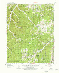
1946 Map of Richwoods
USGS Topo · Published 1976About this map
Richwoods sits at the heart of this post-war landscape where the Ozark Plateau transitions into the mining districts of eastern Missouri. The map captures a transition period in rural infrastructure, marked by the extensive network of country schools like Hulsey Sch and Ebo Sch that still dotted the countryside before mid-century consolidation. The southern portion of the sheet is defined by the Clark National Forest and a series of deep hollows including Joshua Hill Hollow and Sugar Camp Hollow, reflecting the difficult terrain that shaped early settlement patterns.
Find a feature on this map
68 named features on this map. Tap any name to fly to it.
Don’t see what you’re looking for? This feature index may not catch every label — zoom into the map to look around manually.
Map Details
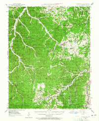
Editions of this 1946 Richwoods Map
3 editions found

Other maps of this area

1901 · De Soto
USGS Topo · 1:125,000

1903 · Sullivan
USGS Topo · 1:125,000

1905 · Bonneterre
USGS Topo · 1:62,500

1906 · Potosi
USGS Topo · 1:62,500

1934 · Meramec State Park
USGS Topo · 1:24,000

1937 · Fletcher
USGS Topo · 1:24,000

1937 · Meramec State Park
USGS Topo · 1:24,000

1937 · Tiff
USGS Topo · 1:24,000

1938 · Cedar Hill
USGS Topo · 1:24,000

1938 · Fletcher
USGS Topo · 1:24,000