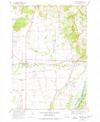
1969 Map of Rickreall
USGS Topo · Published 1978About this map
Baskett Slough National Wildlife Refuge dominates the western landscape of this mid-Willamette Valley survey, where the Southern Pacific rail line and Pacific Highway intersect at Rickreall. The area is characterized by a high density of family-named landmarks and crossroads that speak to the region's agricultural heritage, including Walkers Corner, Orrs Corner, and Clow Corner. These junctions represent the intersection of historical homesteads and the transport networks required to move goods toward the river.
Find a feature on this map
52 named features on this map. Tap any name to fly to it.
Don’t see what you’re looking for? This feature index may not catch every label — zoom into the map to look around manually.
Map Details
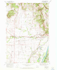
Editions of this 1969 Rickreall Map
2 editions found
Other maps of this area

1914 · Independence
USGS Topo · 1:31,680

1915 · Rickreall
USGS Topo · 1:31,680

1915 · Eola
USGS Topo · 1:31,680

1915 · Sidney
USGS Topo · 1:31,680

1917 · Salem
USGS Topo · 1:62,500

1922 · Airlie
USGS Topo · 1:31,680

1924 · Mc Minnville
USGS Topo · 1:48,000

1926 · Mc Minnville
USGS Topo · 1:62,500

1940 · McMinnville
USGS Topo · 1:62,500

1940 · Salem
USGS Topo · 1:62,500