
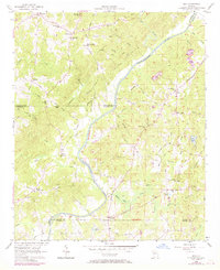
1958 Map of Rico
USGS Topo · Published 1958About this map
The Chattahoochee River carves a winding path through this rural landscape on the borders of Fulton, Douglas, and Carroll counties. In the late 1950s, this area remained largely agricultural, defined by a network of local roads such as Yellow Ferry Road and Five Notch Road that connected small farming communities. The settlement of Rico serves as a central point, anchored by the Providence Ch and nearby Rico Lake.
Find a feature on this map
58 named features on this map. Tap any name to fly to it.
Don’t see what you’re looking for? This feature index may not catch every label — zoom into the map to look around manually.
Map Details
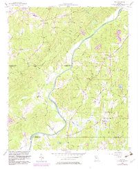
Editions of this 1958 Rico Map
Other maps of this area

1891 · Marietta
USGS Topo · 1:125,000

1895 · Marietta
USGS Topo · 1:125,000

1897 · Marietta
USGS Topo · 1:125,000

1901 · Marietta
USGS Topo · 1:125,000

1953 · Atlanta
USGS Topo · 1:250,000

1954 · Palmetto
USGS Topo · 1:24,000

1954 · Campbellton
USGS Topo · 1:24,000

1957 · Atlanta
USGS Topo · 1:250,000

1958 · Atlanta
USGS Topo · 1:250,000
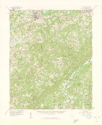
1958 · Villa Rica
USGS Topo · 1:62,500