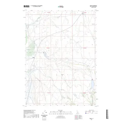
2023 Map of Riddle
USGS Topo · Published 2023About this map
Riddle stands at the intersection of high-desert range and deep-cut drainage systems in Owyhee County. This remote corner of southwestern Idaho is defined by its water sources, including the Indian Creek Reservoir and numerous springs like Otter Spring and Moorcastle Springs. The landscape is a high plateau broken by significant depressions such as Duck Valley and Old Man Canyon. The road network, including Battle Creek Rd and Jackson-Tribe Rd, traces the movement of ranchers and land managers through this arid territory. Expansive level ground is found at Moorcastle Flat and Summit Flat, which provide critical grazing land. This map documents a modern view of a region that remains largely defined by its natural topography and seasonal water flow, seen in the winding paths of Sage Hen Creek and Moorcastle Creek.
Find a feature on this map
32 named features on this map. Tap any name to fly to it.
Don’t see what you’re looking for? This feature index may not catch every label — zoom into the map to look around manually.
Map Details
Editions of this 2023 Riddle Map
2 editions found
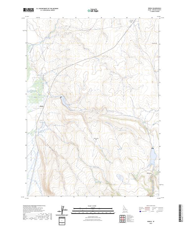
Other maps of this area

1955 · Jordan Valley
USGS Topo · 1:250,000

1955 · Twin Falls
USGS Topo · 1:250,000

1957 · Jordan Valley
USGS Topo · 1:250,000

1958 · Twin Falls
USGS Topo · 1:250,000

1958 · Jordan Valley
USGS Topo · 1:250,000
1971 · Flying H Ranch
USGS Topo · 1:24,000
1971 · Three Forks
USGS Topo · 1:24,000
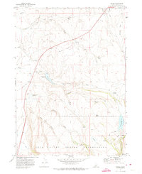
1971 · Riddle
USGS Topo · 1:24,000
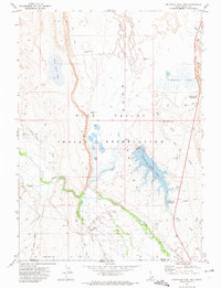
1971 · Mountain View Lake
USGS Topo · 1:24,000

1972 · Little Blue Table
USGS Topo · 1:24,000