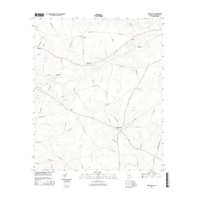
2014 Map of Riddleville
USGS Topo · Published 2014About this map
Riddleville serves as the central hub of this agricultural landscape in Washington County, where the intersection of several key routes including Ga-242 and Ga-231 defines the local geography. The map reveals a high density of small water bodies and drainage systems that feed the regional hydrology, such as the Little Ohoopee River and Williamson Swamp Cr. For researchers, the presence of family-named sites like Newsome Cem, Jones Cem, and the Washington County Memorial Garden provides concrete links to the area's genealogical history.
Find a feature on this map
73 named features on this map. Tap any name to fly to it.
Don’t see what you’re looking for? This feature index may not catch every label — zoom into the map to look around manually.
Map Details
Editions of this 2014 Riddleville Map
This is the sole edition of this map. No revisions or reprints were ever made.
Other maps of this area

1953 · Athens
USGS Topo · 1:250,000

1957 · Macon
USGS Topo · 1:250,000

1958 · Macon
USGS Topo · 1:250,000

1958 · Athens
USGS Topo · 1:250,000

1959 · Athens
USGS Topo · 1:250,000

1961 · Warthen
USGS Topo · 1:24,000

1962 · Irwins Crossroads
USGS Topo · 1:24,000

1962 · Sandersville
USGS Topo · 1:24,000

1963 · Athens
USGS Topo · 1:250,000

1964 · Macon
USGS Topo · 1:250,000