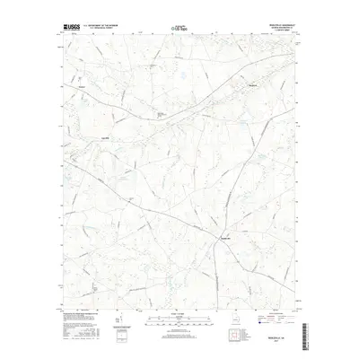
2017 Map of Riddleville
USGS Topo · Published 2017About this map
Riddleville anchors the southeastern corner of this Washington County landscape, where the local road network converges at the junction of Bartow Rd and Riddleville-Davisboro Rd. The terrain is defined by a dense network of tributaries including Sun Hill Cr and the Little Ohoopee River, which feed into numerous small impoundments such as Sheppard Lake and Johnsons Pond. This agrarian region is dotted with family and community landmarks, including several burial grounds like Newsome Cem and the Washington County Memorial Garden. The northern portion of the map shows the scattered settlements of Sun Hill, Tanner, and Heidrich, which are connected by historic routes like Old Savannah Rd. The presence of Mount Moriah Cem and Jackson Cem offers significant points of interest for those tracing local lineage in this corner of the Georgia coastal plain.
Find a feature on this map
80 named features on this map. Tap any name to fly to it.
Don’t see what you’re looking for? This feature index may not catch every label — zoom into the map to look around manually.
Map Details
Editions of this 2017 Riddleville Map
This is the sole edition of this map. No revisions or reprints were ever made.
Other maps of this area

1953 · Athens
USGS Topo · 1:250,000

1957 · Macon
USGS Topo · 1:250,000

1958 · Macon
USGS Topo · 1:250,000

1958 · Athens
USGS Topo · 1:250,000

1959 · Athens
USGS Topo · 1:250,000

1961 · Warthen
USGS Topo · 1:24,000

1962 · Irwins Crossroads
USGS Topo · 1:24,000

1962 · Sandersville
USGS Topo · 1:24,000

1963 · Athens
USGS Topo · 1:250,000

1964 · Macon
USGS Topo · 1:250,000