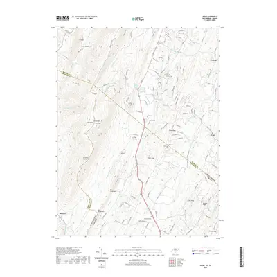
2019 Map of Ridge
USGS Topo · Published 2019About this map
Cacapon Mtn and Piney Ridge dominate this rugged section of the West Virginia and Virginia borderlands. The settlement of Ridge sits along the primary valley corridor, where the historic Union Cem and McIntire Cem provide significant genealogical markers for the region's long-established families. The landscape is defined by its dramatic series of parallel ridges and deep hollows, including Sink Pond Hollow and Horsebone Hollow, which dictate the local transportation and drainage patterns.
Find a feature on this map
131 named features on this map. Tap any name to fly to it.
Don’t see what you’re looking for? This feature index may not catch every label — zoom into the map to look around manually.
Map Details
Editions of this 2019 Ridge Map
This is the sole edition of this map. No revisions or reprints were ever made.
Other maps of this area

1894 · Winchester
USGS Topo · 1:125,000
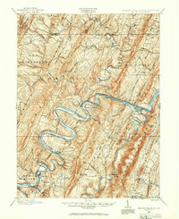
1898 · Paw Paw
USGS Topo · 1:62,500

1899 · Hancock
USGS Topo · 1:62,500
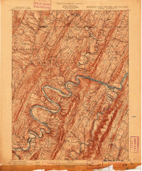
1900 · Pawpaw
USGS Topo · 1:62,500

1901 · Hancock
USGS Topo · 1:62,500
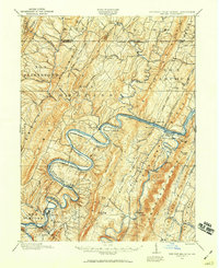
1910 · Paw Paw
USGS Topo · 1:62,500
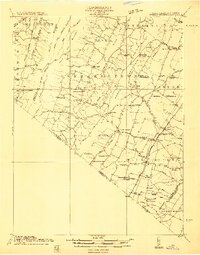
1914 · Gerrardstown
USGS Topo · 1:48,000
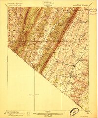
1916 · Gerrardstown
USGS Topo · 1:62,500
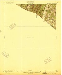
1916 · Capon Bridge
USGS Topo · 1:62,500
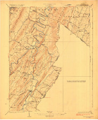
1923 · Capon Bridge
USGS Topo · 1:62,500