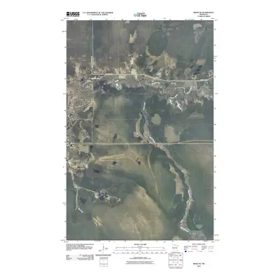
2010 Map of Ridge NE
USGS Topo · Published 2010About this map
Gates Corner occupies a central position in this remote section of northern Minnesota, marking the intersection of Pine Island Rd and County Hwy-30. The landscape is defined by the winding course of the Sturgeon River, which meanders across the upper portion of the quadrangle. A network of smaller waterways, including the elongated Dinner Creek and the southern Hay Creek, suggests a low-lying, water-dominant terrain characteristic of the region's wilderness and timberlands. The sparse infrastructure, limited primarily to these major thoroughfares and isolated watercourses, highlights the rural and undeveloped nature of the area during the early 21st century. This survey provides a clear view of the hydrological patterns and road access points essential for navigating this specific corner of Koochiching County.
Find a feature on this map
6 named features on this map. Tap any name to fly to it.
Don’t see what you’re looking for? This feature index may not catch every label — zoom into the map to look around manually.
Map Details
Editions of this 2010 Ridge NE Map
This is the sole edition of this map. No revisions or reprints were ever made.
Other maps of this area

1919 · Lundgren
USGS Topo · 1:62,500

1919 · I
USGS Topo · 1:62,500

1919 · Margie
USGS Topo · 1:62,500

1943 · Lindford
USGS Topo · 1:62,500

1954 · Roseau
USGS Topo · 1:250,000

1954 · International Falls
USGS Topo · 1:250,000

1957 · Roseau
USGS Topo · 1:250,000

1957 · International Falls
USGS Topo · 1:250,000

1958 · International Falls
USGS Topo · 1:250,000

1958 · Roseau
USGS Topo · 1:250,000