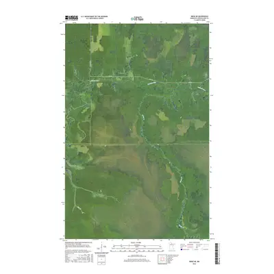
2016 Map of Ridge NE
USGS Topo · Published 2016About this map
The Sturgeon River meanders across the northern half of this Koochiching County landscape, tracing a complex path through the dense wetlands of northern Minnesota. This area, largely defined by its extensive swamp and marsh hydrology, is accessed by only a few remote corridors like Pine Island Rd and Co Rd 30. The map illustrates the dominance of water in this terrain, where Dinner Cr and Hay Cr drain into the broader river system. These features reveal the difficulty of overland travel in the region during the early twenty-first century, showing how human infrastructure is confined to narrow ridges and established forest roads within a vast, saturated wilderness. The township and range lines, including t155n r27w, provide a rigid survey framework over an otherwise fluid and shifting environment.
Find a feature on this map
9 named features on this map. Tap any name to fly to it.
Don’t see what you’re looking for? This feature index may not catch every label — zoom into the map to look around manually.
Map Details
Editions of this 2016 Ridge NE Map
This is the sole edition of this map. No revisions or reprints were ever made.
Other maps of this area

1919 · Lundgren
USGS Topo · 1:62,500

1919 · I
USGS Topo · 1:62,500

1919 · Margie
USGS Topo · 1:62,500

1943 · Lindford
USGS Topo · 1:62,500

1954 · Roseau
USGS Topo · 1:250,000

1954 · International Falls
USGS Topo · 1:250,000

1957 · Roseau
USGS Topo · 1:250,000

1957 · International Falls
USGS Topo · 1:250,000

1958 · International Falls
USGS Topo · 1:250,000

1958 · Roseau
USGS Topo · 1:250,000