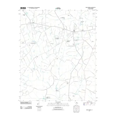
2011 Map of Ridge Spring
USGS Topo · Published 2011About this map
The town of Ridge Spring serves as a central hub for this rural landscape in Saluda County, where agricultural and residential patterns are defined by a complex network of tributaries and man-made impoundments. The geography is characterized by the South Fork Edisto River to the south and Flat Rock Creek to the east, feeding numerous family-named water bodies such as R M Watsons Pond and J C Watson Pond.
Find a feature on this map
112 named features on this map. Tap any name to fly to it.
Don’t see what you’re looking for? This feature index may not catch every label — zoom into the map to look around manually.
Map Details
Editions of this 2011 Ridge Spring Map
This is the sole edition of this map. No revisions or reprints were ever made.
Other maps of this area
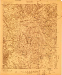
1920 · Aiken
USGS Topo · 1:48,000
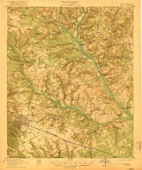
1921 · Aiken
USGS Topo · 1:62,500
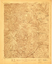
1923 · Warrenville
USGS Topo · 1:48,000
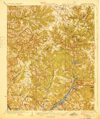
1928 · Warrenville
USGS Topo · 1:62,500
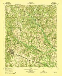
1943 · Aiken
USGS Topo · 1:62,500
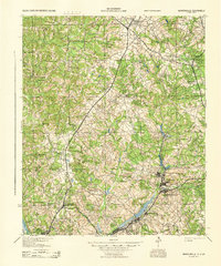
1943 · Warrenville
USGS Topo · 1:62,500

1954 · Augusta
USGS Topo · 1:250,000
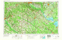
1957 · Augusta
USGS Topo · 1:250,000
1958 · Augusta
USGS Topo · 1:250,000
1961 · Augusta
USGS Topo · 1:250,000