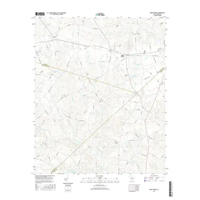
2017 Map of Ridge Spring
USGS Topo · Published 2017About this map
Ridge Spring sits at the nexus of several county boundaries, where Saluda, Edgefield, and Aiken meet in the South Carolina peach country. This 2017 survey details a landscape defined by traditional agriculture and water management, with numerous family-named landmarks such as R M Watsons Pond and J C Watson Pond dotting the drainages. The topography is shaped by the headwaters of the S Fork Edisto River and several tributary branches, including Flat Rock Cr and Easter Br. Genealogists will find a wealth of specific burial sites scattered across the rural acreage, from the Ridge Springs Cem near the town center to more secluded locations like the Easter Branch Cem and Mill Town Cem. The settlement of Ward anchors the northwestern corner, connected by a network of rural routes like Old Plank Rd and Richland Creek Rd that follow the natural rises in the land.
Find a feature on this map
110 named features on this map. Tap any name to fly to it.
Don’t see what you’re looking for? This feature index may not catch every label — zoom into the map to look around manually.
Map Details
Editions of this 2017 Ridge Spring Map
This is the sole edition of this map. No revisions or reprints were ever made.
Other maps of this area

1920 · Aiken
USGS Topo · 1:48,000

1921 · Aiken
USGS Topo · 1:62,500

1923 · Warrenville
USGS Topo · 1:48,000

1928 · Warrenville
USGS Topo · 1:62,500

1943 · Aiken
USGS Topo · 1:62,500

1943 · Warrenville
USGS Topo · 1:62,500

1954 · Augusta
USGS Topo · 1:250,000

1957 · Augusta
USGS Topo · 1:250,000

1958 · Augusta
USGS Topo · 1:250,000

1961 · Augusta
USGS Topo · 1:250,000