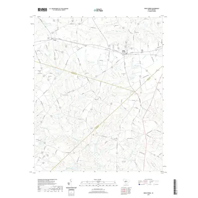
2020 Map of Ridge Spring
USGS Topo · Published 2020About this map
The S Fork Edisto River meanders across the southern landscape of this 2020 South Carolina survey, marking a terrain defined by complex water systems and small-town junctions. At the convergence of Aiken, Edgefield, and Saluda counties, the town of Ridge Spring serves as a primary hub, while Ward sits to the northwest along the historic Front St corridor. The geography is densely populated with family-named landmarks and water bodies, including R M Watsons Pond and Boatwrights Pond, reflecting a long history of private land use and agricultural development.
Find a feature on this map
119 named features on this map. Tap any name to fly to it.
Don’t see what you’re looking for? This feature index may not catch every label — zoom into the map to look around manually.
Map Details
Editions of this 2020 Ridge Spring Map
This is the sole edition of this map. No revisions or reprints were ever made.
Other maps of this area

1920 · Aiken
USGS Topo · 1:48,000

1921 · Aiken
USGS Topo · 1:62,500

1923 · Warrenville
USGS Topo · 1:48,000

1928 · Warrenville
USGS Topo · 1:62,500

1943 · Aiken
USGS Topo · 1:62,500

1943 · Warrenville
USGS Topo · 1:62,500

1954 · Augusta
USGS Topo · 1:250,000

1957 · Augusta
USGS Topo · 1:250,000

1958 · Augusta
USGS Topo · 1:250,000

1961 · Augusta
USGS Topo · 1:250,000