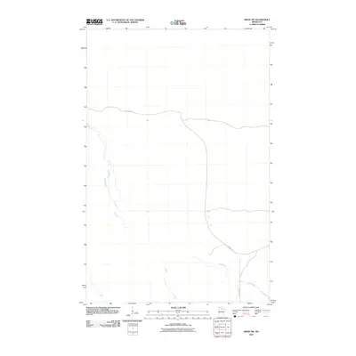
2010 Map of Ridge SW
USGS Topo · Published 2010About this map
Lost River meanders through this portion of Koochiching County, defining the drainage patterns of a landscape marked by its low-lying terrain and sparse infrastructure. The map reveals a remote area of northern Minnesota where transportation is limited to a few key corridors such as Lost River Rd and Gemmell Rd. These routes, along with County Hwy 64, provide the primary access through the region, reflecting a late 20th and early 21st-century reliance on established county-maintained roads. The absence of densely clustered settlements suggests a territory primarily used for timber, conservation, or seasonal activity, where the natural course of the waterway remains the most prominent geographic landmark for those navigating the backcountry.
Find a feature on this map
4 named features on this map. Tap any name to fly to it.
Don’t see what you’re looking for? This feature index may not catch every label — zoom into the map to look around manually.
Map Details
Editions of this 2010 Ridge SW Map
This is the sole edition of this map. No revisions or reprints were ever made.
Other maps of this area

1919 · Lundgren
USGS Topo · 1:62,500

1919 · Gemmell
USGS Topo · 1:62,500

1919 · Norden
USGS Topo · 1:62,500

1919 · Bridgie
USGS Topo · 1:62,500

1924 · Bridgie
USGS Topo · 1:62,500

1954 · Bemidji
USGS Topo · 1:250,000

1954 · Roseau
USGS Topo · 1:250,000

1957 · Roseau
USGS Topo · 1:250,000

1957 · Bemidji
USGS Topo · 1:250,000

1958 · Bemidji
USGS Topo · 1:250,000