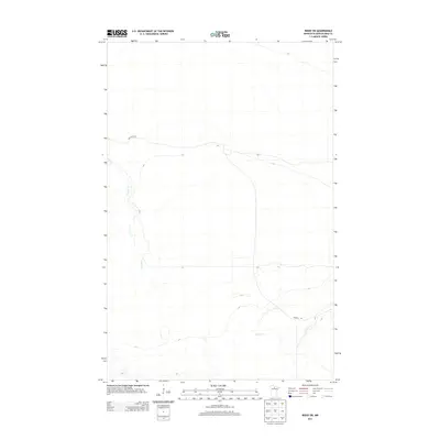
2013 Map of Ridge SW
USGS Topo · Published 2013About this map
Lost River meanders across this northern Minnesota landscape, creating a distinct hydrological pattern through the Koochiching County wilderness. The terrain is defined by its low-lying, watery character, where the river's winding path serves as the primary natural landmark. Human presence is limited to a few arterial routes that cut through the wetlands, including Lost River Rd in the northwest and Gemmell Rd in the southeast. These roads represent the essential infrastructure for navigating the dense woods and marshes of the northern borderlands during the early twenty-first century. The map provides a precise record of the drainage and elevations in this sparsely settled region, where the natural flow of the water remains the dominant force shaping the land.
Find a feature on this map
3 named features on this map. Tap any name to fly to it.
Don’t see what you’re looking for? This feature index may not catch every label — zoom into the map to look around manually.
Map Details
Editions of this 2013 Ridge SW Map
This is the sole edition of this map. No revisions or reprints were ever made.
Other maps of this area

1919 · Lundgren
USGS Topo · 1:62,500

1919 · Gemmell
USGS Topo · 1:62,500

1919 · Norden
USGS Topo · 1:62,500

1919 · Bridgie
USGS Topo · 1:62,500

1924 · Bridgie
USGS Topo · 1:62,500

1954 · Bemidji
USGS Topo · 1:250,000

1954 · Roseau
USGS Topo · 1:250,000

1957 · Roseau
USGS Topo · 1:250,000

1957 · Bemidji
USGS Topo · 1:250,000

1958 · Bemidji
USGS Topo · 1:250,000