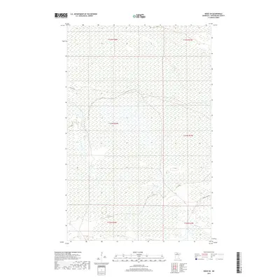
2019 Map of Ridge SW
USGS Topo · Published 2019About this map
Lost River winds through the wetlands of Koochiching County in this modern record of the northern Minnesota wilderness. This landscape is defined by its low-lying terrain and dense hydrological network, where the river's path is the primary natural landmark. Human presence is concentrated along a few key corridors, notably Lost River Rd in the northwest and Gemmell Ridge Rd in the southeast corner. The survey illustrates the Public Land Survey System grid, including segments of t154n r28w, t153n r28w, and t152n r27w, which provide a vital framework for land researchers and genealogists tracing property boundaries in this remote region. The map emphasizes the preservation of the area's natural state, focusing on the intricate wetlands and drainage patterns that characterize the Big Fork River basin.
Find a feature on this map
9 named features on this map. Tap any name to fly to it.
Don’t see what you’re looking for? This feature index may not catch every label — zoom into the map to look around manually.
Map Details
Editions of this 2019 Ridge SW Map
This is the sole edition of this map. No revisions or reprints were ever made.
Other maps of this area

1919 · Lundgren
USGS Topo · 1:62,500

1919 · Gemmell
USGS Topo · 1:62,500

1919 · Norden
USGS Topo · 1:62,500

1919 · Bridgie
USGS Topo · 1:62,500

1924 · Bridgie
USGS Topo · 1:62,500

1954 · Bemidji
USGS Topo · 1:250,000

1954 · Roseau
USGS Topo · 1:250,000

1957 · Roseau
USGS Topo · 1:250,000

1957 · Bemidji
USGS Topo · 1:250,000

1958 · Bemidji
USGS Topo · 1:250,000