1973 Map of Ridge SW
USGS Topo · Published 1976About this map
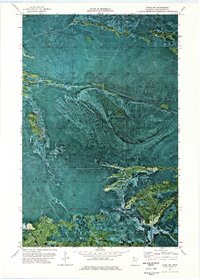
Pine Island State Forest dominates this topographic orthophotomap, showing the intricate textures of Minnesota's boggy northern interior as it appeared in the early 1970s. The landscape is characterized by its complex hydrology and the absence of permanent settlements, defined instead by seasonal access routes. The presence of a Winter road and a single Trail underscores the seasonal nature of activity in this part of Koochiching County, where the frozen ground once provided the primary means of navigating the saturated terrain for timber or land management. This 1973 survey provides an exceptional view of the natural drainage patterns and vegetation signatures typical of this remote forest management area.
Find a feature on this map
3 named features on this map. Tap any name to fly to it.
Don’t see what you’re looking for? This feature index may not catch every label — zoom into the map to look around manually.
Map Details
Editions of this 1973 Ridge SW Map
This is the sole edition of this map. No revisions or reprints were ever made.
Other maps of this area

1919 · Lundgren
USGS Topo · 1:62,500

1919 · Gemmell
USGS Topo · 1:62,500

1919 · Norden
USGS Topo · 1:62,500

1919 · Bridgie
USGS Topo · 1:62,500

1924 · Bridgie
USGS Topo · 1:62,500

1954 · Bemidji
USGS Topo · 1:250,000

1954 · Roseau
USGS Topo · 1:250,000

1957 · Roseau
USGS Topo · 1:250,000

1957 · Bemidji
USGS Topo · 1:250,000

1958 · Bemidji
USGS Topo · 1:250,000