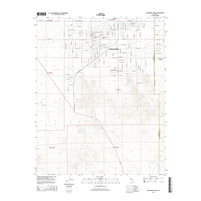
2015 Map of Ridgecrest South
USGS Topo · Published 2015About this map
Ridgecrest serves as the primary urban hub in the high-altitude landscape of the Indian Wells Valley, where the northern reaches of the Mojave Desert meet a grid of residential and municipal expansion. The map details the southern growth of the city, showing a dense network of streets such as W Ridgecrest Blvd and S China Lake Blvd that abruptly transition into the arid desert terrain. Education and recreation are prominent markers of the local community, evidenced by the presence of Cerro Coso Community Coll and the Tera Ultralight Flightpark near the Kern Co and San Bernardino Co boundary. To the south, the terrain becomes increasingly complex as it slopes toward Teagle Wash, illustrating the natural drainage patterns that define this desert environment.
Find a feature on this map
95 named features on this map. Tap any name to fly to it.
Don’t see what you’re looking for? This feature index may not catch every label — zoom into the map to look around manually.
Map Details
Editions of this 2015 Ridgecrest South Map
This is the sole edition of this map. No revisions or reprints were ever made.
Other maps of this area

1903 · Randsburg
USGS Topo · 1:62,500

1911 · Randsburg
USGS Topo · 1:62,500

1912 · Randsburg
USGS Topo · 1:62,500

1915 · Searles Lake
USGS Topo · 1:250,000

1943 · Inyokern
USGS Topo · 1:62,500

1943 · Saltdale
USGS Topo · 1:62,500

1947 · Trona
USGS Topo · 1:250,000

1948 · Trona
USGS Topo · 1:250,000

1953 · Ridgecrest
USGS Topo · 1:62,500

1953 · Trona
USGS Topo · 1:250,000