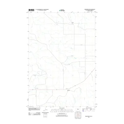
2012 Map of Ridgeview SW
USGS Topo · Published 2012About this map
The high plains of Dewey County are defined by a network of seasonal watercourses and established ranching operations. In this 2012 snapshot of the West River landscape, the small community of Thatcher sits along a primary east-west corridor just south of Mossman. The terrain is drained by several branches of the Cheyenne River watershed, including the W Br Rousseau Cr and Fox Cr, which carve subtle paths through the grassland. This map provides a clear record of land use and family-held acreage in the early 21st century, specifically identifying the Gesinger Ranch to the north and both the Hagel Ranch and Simon Ranch further south. The survey reveals a sparse but deliberate transportation grid, where local routes like Co HWY-16 and Co RD-19 connect these isolated holdings to the larger regional infrastructure.
Find a feature on this map
13 named features on this map. Tap any name to fly to it.
Don’t see what you’re looking for? This feature index may not catch every label — zoom into the map to look around manually.
Map Details
Editions of this 2012 Ridgeview SW Map
This is the sole edition of this map. No revisions or reprints were ever made.
Other maps of this area

1951 · Ridgeview NW
USGS Topo · 1:24,000

1951 · Ridgeview NE
USGS Topo · 1:24,000

1952 · Parade NE
USGS Topo · 1:24,000

1953 · McIntosh
USGS Topo · 1:250,000

1954 · Pierre
USGS Topo · 1:250,000

1958 · Pierre
USGS Topo · 1:250,000

1958 · McIntosh
USGS Topo · 1:250,000

1981 · Charlie Creek
USGS Topo · 1:24,000

1981 · Rousseau Creek NW
USGS Topo · 1:24,000

1981 · Herbert Creek NE
USGS Topo · 1:24,000