
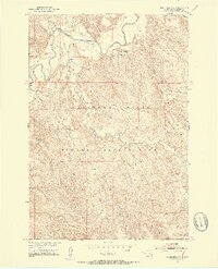
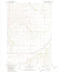
1951 Map of Ridgeview NW
USGS Topo · Published 1953About this map
Cheyenne River Indian Reservation lands dominate this mid-century landscape in Dewey County, defined by the winding course of the Moreau River across the northern sections. This 1951 survey, part of a Department of the Interior program for the development of the Missouri River Basin, reveals a landscape of ranching and drainage networks during a period of planned regional water management. Local landmarks like Ewing Ranch and Gunville Ranch anchor the river valley, providing specific reference points for genealogists and local historians tracing family holdings. The terrain is deeply carved by watercourses such as Cottonwood Creek and Bull Creek, illustrating the intricate topography of the northern plains. The map records a specific moment when these remote outposts and traditional reservation boundaries were documented through early aerial photography and precise field checks.
Find a feature on this map
6 named features on this map. Tap any name to fly to it.
Don’t see what you’re looking for? This feature index may not catch every label — zoom into the map to look around manually.
Map Details
Editions of this 1951 Ridgeview NW Map
3 editions found
Other maps of this area

1951 · Ridgeview NE
USGS Topo · 1:24,000

1952 · Whitehorse
USGS Topo · 1:24,000

1952 · Parade NE
USGS Topo · 1:24,000

1952 · Glencross SE
USGS Topo · 1:24,000

1953 · McIntosh
USGS Topo · 1:250,000

1958 · McIntosh
USGS Topo · 1:250,000

1978 · Little Moreau Lake
USGS Topo · 1:24,000
1981 · Parade
USGS Topo · 1:24,000
1981 · Ridgeview
USGS Topo · 1:24,000
1981 · Ridgeview SW
USGS Topo · 1:24,000