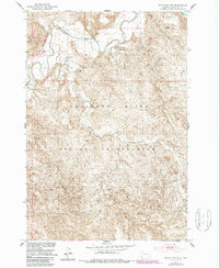
1951 Map of Ridgeview NW
USGS Topo · Published 1987About this map
The Moreau River meanders across the northern portion of this Dewey County landscape, carving a distinctive valley through the prairie. This survey, conducted as part of the Department of the Interior program for the development of the Missouri River Basin, reveals the isolated rural nature of the Cheyenne River Indian Reservation in the early 1950s. The settlement pattern is defined by solitary outposts such as Ewing Ranch and Gunville Ranch, which stand as landmarks in an area dominated by intricate drainage systems like Cottonwood Creek. The fine topographical detail illustrates the complex network of draws and breaks that characterize the terrain south of the river valley, providing an essential look at the land before later infrastructure revisions.
Find a feature on this map
5 named features on this map. Tap any name to fly to it.
Don’t see what you’re looking for? This feature index may not catch every label — zoom into the map to look around manually.
Map Details
Editions of this 1951 Ridgeview NW Map
3 editions found
Other maps of this area

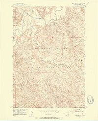
1951 · Ridgeview NW
USGS Topo · 1:24,000

1951 · Ridgeview NE
USGS Topo · 1:24,000

1952 · Whitehorse
USGS Topo · 1:24,000

1952 · Parade NE
USGS Topo · 1:24,000

1952 · Glencross SE
USGS Topo · 1:24,000

1953 · McIntosh
USGS Topo · 1:250,000

1958 · McIntosh
USGS Topo · 1:250,000

1978 · Little Moreau Lake
USGS Topo · 1:24,000
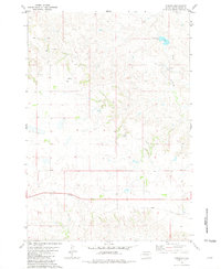
1981 · Parade
USGS Topo · 1:24,000
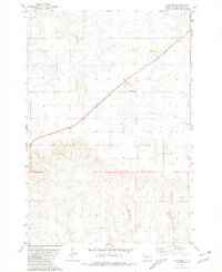
1981 · Ridgeview
USGS Topo · 1:24,000