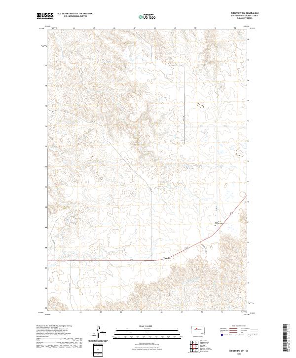
2021 Map of Ridgeview SW
USGS Topo · Published 2021About this map
The high plains of Dewey County are captured in this recent survey, showcasing a landscape defined by seasonal drainages and isolated rural sites. The settlement of Thatcher sits near the intersection of several local routes, including the southern terminus of Phil St. To the east, the Saint Basils Cem at Mossman serves as a significant genealogical landmark, located just north of the county line. The terrain is deeply incised by the headwaters of Goose Cr and the W Br Rousseau Cr, which create intricate contour patterns across the township sections. Transportation is facilitated by a grid of county roads, such as Armstrong Co Rd and 255 Ave, which provide access to the expansive agricultural and grazing lands that characterize this portion of South Dakota.
Find a feature on this map
17 named features on this map. Tap any name to fly to it.
Don’t see what you’re looking for? This feature index may not catch every label — zoom into the map to look around manually.
Map Details
Editions of this 2021 Ridgeview SW Map
This is the sole edition of this map. No revisions or reprints were ever made.
Other maps of this area

1951 · Ridgeview NW
USGS Topo · 1:24,000

1951 · Ridgeview NE
USGS Topo · 1:24,000

1952 · Parade NE
USGS Topo · 1:24,000

1953 · McIntosh
USGS Topo · 1:250,000

1954 · Pierre
USGS Topo · 1:250,000

1958 · Pierre
USGS Topo · 1:250,000

1958 · McIntosh
USGS Topo · 1:250,000

1981 · Charlie Creek
USGS Topo · 1:24,000

1981 · Rousseau Creek NW
USGS Topo · 1:24,000

1981 · Herbert Creek NE
USGS Topo · 1:24,000