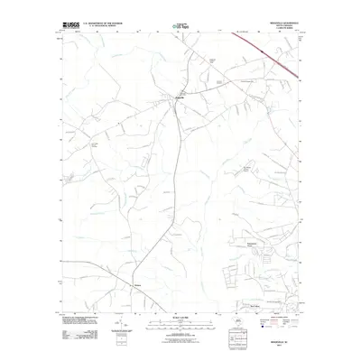
2011 Map of Ridgeville
USGS Topo · Published 2011About this map
Ridgeville serves as the central hub of this Dorchester County landscape, situated at the intersection of the CSX Transportation railroad and local thoroughfares. The town is marked by the Ridgeville Post Office and the Ridgeville Lookout Tower, reflecting its role as a regional anchor for surrounding rural communities like Givhans and Little Salem. The terrain is defined by the winding course of the Ashley River and its numerous tributaries, including Captains Creek and Ting Branch, which drain into the significant wetlands of Four Hole Swamp to the west.
Find a feature on this map
117 named features on this map. Tap any name to fly to it.
Don’t see what you’re looking for? This feature index may not catch every label — zoom into the map to look around manually.
Map Details
Editions of this 2011 Ridgeville Map
This is the sole edition of this map. No revisions or reprints were ever made.
Other maps of this area

1918 · Cottageville
USGS Topo · 1:62,500

1919 · Summerville
USGS Topo · 1:48,000

1919 · Ridgeville
USGS Topo · 1:48,000

1920 · Ravenels
USGS Topo · 1:62,500

1920 · Ridgeville
USGS Topo · 1:62,500

1920 · Summerville
USGS Topo · 1:62,500

1943 · Cottageville
USGS Topo · 1:62,500

1943 · Ridgeville
USGS Topo · 1:62,500

1944 · Ravenels
USGS Topo · 1:62,500

1944 · Summerville
USGS Topo · 1:62,500