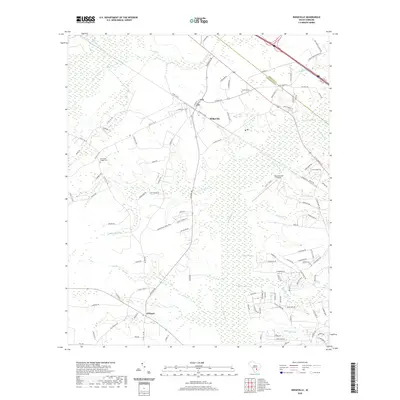
2020 Map of Ridgeville
USGS Topo · Published 2020About this map
Ridgeville serves as the central hub of this Dorchester County landscape, where the town grid meets the winding course of the Ashley River. The area is characterized by an intricate network of wetlands and watercourses, most notably the expansive Four Hole Swamp in the northwest and Cypress Swamp to the east. These hydrologic features dictate the placement of local infrastructure, with roads like Ridgeville Rd and Givhans Rd navigating around the low-lying reaches of Timothy Creek and Rumphs Hill Creek.
Find a feature on this map
129 named features on this map. Tap any name to fly to it.
Don’t see what you’re looking for? This feature index may not catch every label — zoom into the map to look around manually.
Map Details
Editions of this 2020 Ridgeville Map
This is the sole edition of this map. No revisions or reprints were ever made.
Other maps of this area

1918 · Cottageville
USGS Topo · 1:62,500

1919 · Summerville
USGS Topo · 1:48,000

1919 · Ridgeville
USGS Topo · 1:48,000

1920 · Ravenels
USGS Topo · 1:62,500

1920 · Ridgeville
USGS Topo · 1:62,500

1920 · Summerville
USGS Topo · 1:62,500

1943 · Cottageville
USGS Topo · 1:62,500

1943 · Ridgeville
USGS Topo · 1:62,500

1944 · Ravenels
USGS Topo · 1:62,500

1944 · Summerville
USGS Topo · 1:62,500