Loading...
Loading map...2022 Map of Ridgeville
USGS Topo · Published 2022About this map
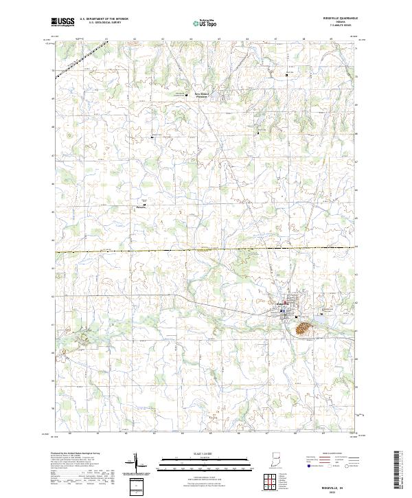
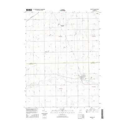
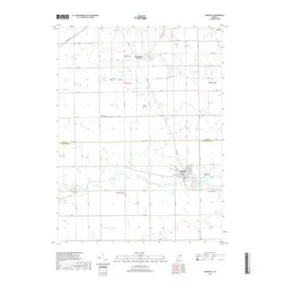
Ridgeville anchors this portion of Randolph and Jay Counties, situated where the Mississinewa River winds through a landscape defined by an intricate network of historical drainage and small farming settlements. The map illustrates a high density of rural burial grounds, such as Bost Cem, Finch Cem, and the Ridgeview Odd Fellows Cem, reflecting the deep-rooted family genealogies of the area.
Find a feature on this map
50 named features on this map. Tap any name to fly to it.
Don’t see what you’re looking for? This feature index may not catch every label — zoom into the map to look around manually.
Map Details
Date Portrayed2022
Date Published2022
PublisherU.S. Geological Survey
Map TypeTopographic
Scale1:24,000
Physical Dimensions24 x 29 inches
Editions of this 2022 Ridgeville Map
This is the sole edition of this map. No revisions or reprints were ever made.
Historical Maps of Ridgeville Through Time
6 maps found
Featured Locations
Source Details
SourceU.S. Geological Survey
CopyrightPublic Domain