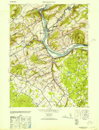
1953 Map of Riegelsville
USGS Topo · Published 1953About this map
The Delaware River forms the central spine of this 1953 landscape, carving through the border between Pennsylvania and New Jersey. Industrial activity is concentrated along the riverbanks, notably at Riegelsville where the Riegel Paper Co and Durham Paper Co are situated. The presence of the Pennsylvania Canal running parallel to the river and the Pennsylvania railroad line at Narrowsville highlights the region's reliance on river-corridor transport for moving goods from sites like Durham Furnace.
Find a feature on this map
76 named features on this map. Tap any name to fly to it.
Don’t see what you’re looking for? This feature index may not catch every label — zoom into the map to look around manually.
Map Details
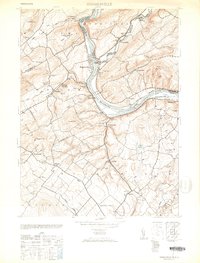
Editions of this 1953 Riegelsville Map
2 editions found
Other maps of this area

1888 · Quakertown
USGS Topo · 1:62,500

1890 · Easton
USGS Topo · 1:62,500

1890 · Doylestown
USGS Topo · 1:62,500

1890 · Quakertown
USGS Topo · 1:62,500

1891 · Easton
USGS Topo · 1:62,500

1891 · Doylestown
USGS Topo · 1:62,500

1894 · Allentown
USGS Topo · 1:62,500

1894 · Quakertown
USGS Topo · 1:62,500

1932 · Easton
USGS Topo · 1:62,500

1939 · Allentown
USGS Topo · 1:62,500