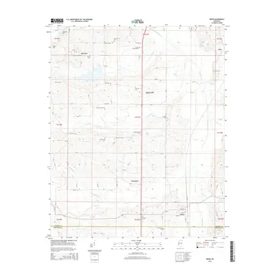
2015 Map of Rienzi
USGS Topo · Published 2015About this map
The Tuscumbia River drainage defines the geography of this North Mississippi landscape, where the Alcorn and Prentiss county line crosses just south of Rienzi. Small communities such as Allentown, Biggersville, and Jobes are scattered across a terrain shaped by numerous waterways, including Parmicha Cr, Bynum Cr, and Hinkle Cr. The map is particularly notable for its concentration of burial sites, including the uniquely named Tuscumbias Grave, the historic Danville Cem (Old), and the Stockade Cem. This distribution of cemeteries alongside rural settlements like Allentown offers a detailed view of the regional settlement patterns. Higher ground is found at Kimmons Hill and Rogers Hill to the northwest, while the southeastern corner is marked by lower creek bottoms and local landmarks such as Mitchel Lake and Forrest Memorial Park.
Find a feature on this map
102 named features on this map. Tap any name to fly to it.
Don’t see what you’re looking for? This feature index may not catch every label — zoom into the map to look around manually.
Map Details
Editions of this 2015 Rienzi Map
This is the sole edition of this map. No revisions or reprints were ever made.
Other maps of this area

1921 · Booneville
USGS Topo · 1:48,000

1922 · Booneville
USGS Topo · 1:62,500

1935 · Glens
USGS Topo · 1:24,000

1936 · Kendrick
USGS Topo · 1:24,000

1950 · Corinth
USGS Topo · 1:62,500

1950 · Kendrick
USGS Topo · 1:24,000

1950 · Glens
USGS Topo · 1:24,000

1950 · Altitude
USGS Topo · 1:24,000

1956 · Tupelo
USGS Topo · 1:250,000

1958 · Tupelo
USGS Topo · 1:250,000