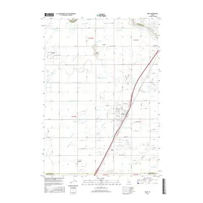
2017 Map of Rigby
USGS Topo · Published 2017About this map
The Snake River plains around Rigby are defined by an intricate network of irrigation systems and agricultural settlements. This 2017 survey shows the engineered landscape of Jefferson County, where the Snake River feeds a complex series of waterways including the Rigby Canal, Bungalow Canal, and Parks Lewisville Canal. These canals crisscross the valley to support rural communities like Annis, Garfield, and Menan. The terrain is mostly level, interrupted only by the prominent Little Buttes rising near the town of Annis. The map records the local infrastructure supporting this high-desert farming region, from the Rigby Airport to the various feeder lines like the Harrison Canal and Alliance Canal that distribute water across the territory. Notable topographic shifts occur at Terrace Hills, providing a rare break in the systematic grid of rural roads and water diversions.
Find a feature on this map
103 named features on this map. Tap any name to fly to it.
Don’t see what you’re looking for? This feature index may not catch every label — zoom into the map to look around manually.
Map Details
Editions of this 2017 Rigby Map
This is the sole edition of this map. No revisions or reprints were ever made.
Other maps of this area

1948 · Rigby
USGS Topo · 1:24,000

1948 · Lewisville
USGS Topo · 1:24,000

1948 · Idaho Falls North
USGS Topo · 1:24,000

1948 · Ucon
USGS Topo · 1:24,000

1949 · Ucon
USGS Topo · 1:24,000

1949 · Idaho Falls North
USGS Topo · 1:24,000

1949 · Rexburg
USGS Topo · 1:24,000

1949 · Rigby
USGS Topo · 1:24,000

1949 · Lewisville
USGS Topo · 1:24,000

1949 · Roberts
USGS Topo · 1:62,500