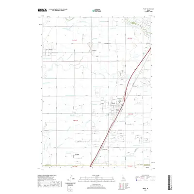
2020 Map of Rigby
USGS Topo · Published 2020About this map
Rigby and its surrounding agricultural plains are defined by an intricate network of irrigation systems and early 21st-century infrastructure. Located in Jefferson County, the landscape is crisscrossed by essential water ways like the Burgess Canal, Rigby Canal, and Annis Slough, which support the intensive farming character of this region. The settlement of Rigby serves as a central hub, containing the Jefferson County Courthouse and connecting to regional transport via Railroad Ave and the N Yellowstone Hwy.
Find a feature on this map
46 named features on this map. Tap any name to fly to it.
Don’t see what you’re looking for? This feature index may not catch every label — zoom into the map to look around manually.
Map Details
Editions of this 2020 Rigby Map
This is the sole edition of this map. No revisions or reprints were ever made.
Other maps of this area

1948 · Rigby
USGS Topo · 1:24,000

1948 · Lewisville
USGS Topo · 1:24,000

1948 · Idaho Falls North
USGS Topo · 1:24,000

1948 · Ucon
USGS Topo · 1:24,000

1949 · Ucon
USGS Topo · 1:24,000

1949 · Idaho Falls North
USGS Topo · 1:24,000

1949 · Rexburg
USGS Topo · 1:24,000

1949 · Rigby
USGS Topo · 1:24,000

1949 · Lewisville
USGS Topo · 1:24,000

1949 · Roberts
USGS Topo · 1:62,500