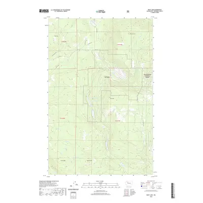
2020 Map of Riley Lake
USGS Topo · Published 2020About this map
Jim Creek and its namesake installation anchor this portion of Snohomish County, where the foothills of the Cascades meet a complex network of glacial lakes and mountain drainages. The landscape is defined by significant elevation changes, from Ebey Hill and Wheeler Mtn in the north to the prominence of Dahlberg Mtn and Jordan Ridge in the south. These ridges separate numerous water bodies, including the isolated Riley Lake and the clustered Chain Lakes, La Barge Lake, and Twin Lakes. Within the eastern boundary, the Mount Baker National Forest begins its ascent into the high country. Resource management and access are marked by a web of forestry and mountain roads such as Ebey Mountain Rd and Nat For Dev Rd 099, reflecting the region's history of timber and naval communications infrastructure.
Find a feature on this map
36 named features on this map. Tap any name to fly to it.
Don’t see what you’re looking for? This feature index may not catch every label — zoom into the map to look around manually.
Map Details
Editions of this 2020 Riley Lake Map
This is the sole edition of this map. No revisions or reprints were ever made.
Other maps of this area

1899 · Stillaguamish
USGS Topo · 1:125,000

1901 · Stilaguamish
USGS Topo · 1:125,000

1911 · Mount Vernon
USGS Topo · 1:125,000

1941 · Marysville
USGS Topo · 1:62,500

1943 · Marysville
USGS Topo · 1:62,500

1944 · Clear Lake
USGS Topo · 1:62,500

1955 · Concrete
USGS Topo · 1:250,000

1956 · Arlington East
USGS Topo · 1:24,000
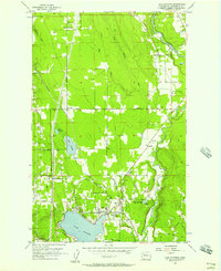
1956 · Lake Stevens
USGS Topo · 1:24,000
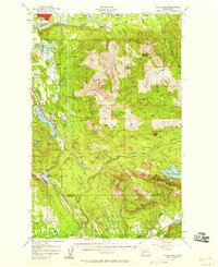
1956 · Clear Lake
USGS Topo · 1:62,500