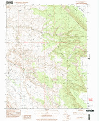
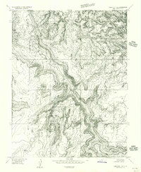
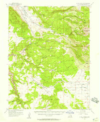
1996 Map of Rill Creek
USGS Topo · Published 2002About this map
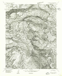
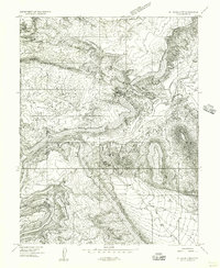
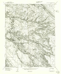
The dramatic transition between high desert plateaus and deeply carved canyons is captured on this 1996 provisional survey of eastern Utah. The landscape is defined by massive formations such as Porcupine Rim and Wilson Mesa, which tower over the surrounding drainage systems of Mill Creek and its many forks. In the lower elevations, Spanish Valley shows the beginnings of community development, including a Golf Course, a local Cem, and a Rodeo Ground.
Find a feature on this map
22 named features on this map. Tap any name to fly to it.
Don’t see what you’re looking for? This feature index may not catch every label — zoom into the map to look around manually.
Map Details
Editions of this 1996 Rill Creek Map
This is the sole edition of this map. No revisions or reprints were ever made.
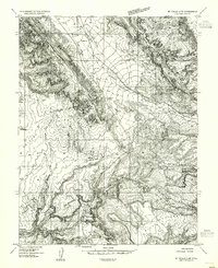
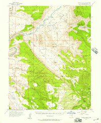
Other maps of this area

1885 · La Sal
USGS Topo · 1:250,000
1954 · Mt Peale 2 NW
USGS Topo · 1:24,000
1954 · Mt. Waas 3 NE
USGS Topo · 1:24,000
1954 · Mt. Waas 3 SE
USGS Topo · 1:24,000
1954 · Carlisle 1 NE
USGS Topo · 1:24,000
1954 · Mt Peale 2 NE
USGS Topo · 1:24,000
1954 · Mt. Waas 3 NW
USGS Topo · 1:24,000
1954 · Mt. Waas 3 SW
USGS Topo · 1:24,000
1954 · La Sal Junction
USGS Topo · 1:62,500
1954 · Castle Valley
USGS Topo · 1:62,500