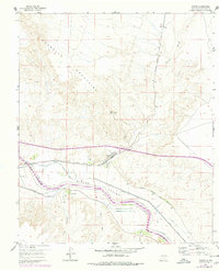
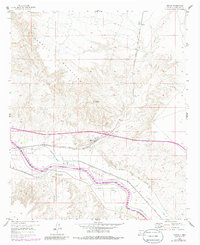
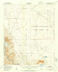
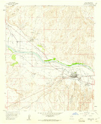
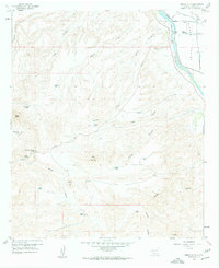
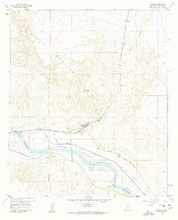
1959 Map of Rincon
USGS Topo · Published 1979About this map
The Rincon Valley serves as a critical agricultural and transportation corridor in this 1959 survey, dominated by the winding course of the Rio Grande. The settlement of Rincon sits at a strategic junction where the Atchison Topeka and Santa Fe railroad meets the valley floor, supported by a complex network of irrigation infrastructure including the Hatch Canal, Rincon Canal, and the Rincon Siphon. To the north, the terrain rises sharply into the Caballo Mountains, providing a stark contrast to the managed waterways of the basin.
Find a feature on this map
24 named features on this map. Tap any name to fly to it.
Don’t see what you’re looking for? This feature index may not catch every label — zoom into the map to look around manually.
Map Details
Editions of this 1959 Rincon Map
3 editions found
Other maps of this area

1916 · Tonuco
USGS Topo · 1:125,000

1932 · Tonuco
USGS Topo · 1:125,000

1948 · Chicken Well
USGS Topo · 1:62,500
1948 · San Diego Mountain
USGS Topo · 1:62,500

1955 · Las Cruces
USGS Topo · 1:250,000

1958 · Las Cruces
USGS Topo · 1:250,000
1959 · Hatch
USGS Topo · 1:24,000
1959 · Sierra Alta
USGS Topo · 1:24,000

1959 · Souse Springs
USGS Topo · 1:24,000
1959 · Rincon
USGS Topo · 1:24,000