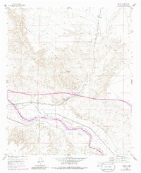
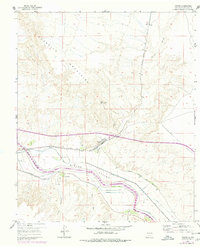
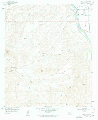
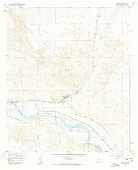
1959 Map of Rincon
USGS Topo · Published 1986About this map
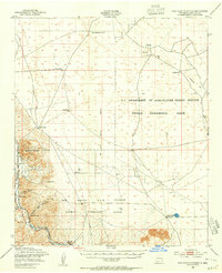
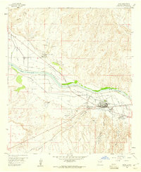
Rincon Valley emerges as a productive agricultural corridor where the Rio Grande dictates the layout of the land. This landscape is defined by an intricate network of irrigation and drainage infrastructure, including the Hatch Canal, Rincon Canal, and the Rincon Siphon. The settlement of Rincon serves as a central hub, situated where the Atchison Topeka and Santa Fe railroad tracks cut through the valley floor.
Find a feature on this map
22 named features on this map. Tap any name to fly to it.
Don’t see what you’re looking for? This feature index may not catch every label — zoom into the map to look around manually.
Map Details
Editions of this 1959 Rincon Map
3 editions found
Other maps of this area

1916 · Tonuco
USGS Topo · 1:125,000

1932 · Tonuco
USGS Topo · 1:125,000

1948 · Chicken Well
USGS Topo · 1:62,500
1948 · San Diego Mountain
USGS Topo · 1:62,500

1955 · Las Cruces
USGS Topo · 1:250,000

1958 · Las Cruces
USGS Topo · 1:250,000
1959 · Hatch
USGS Topo · 1:24,000
1959 · Sierra Alta
USGS Topo · 1:24,000

1959 · Souse Springs
USGS Topo · 1:24,000
1959 · Rincon
USGS Topo · 1:24,000