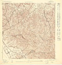
1950 Map of Rincon NO
USGS Topo · Published 1950About this map
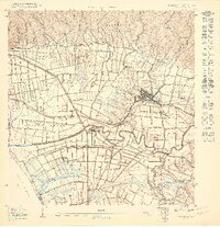
The coastal and agricultural landscape of western Puerto Rico comes into focus through this 1:10,000 scale preliminary study. Along the shoreline of Ensenada Rincón, the tracks of the American RR follow the curve of the Pasaje de Mona, connecting the small rail stop at Desvío Santana to the southern reaches of Córcega. The presence of Central Calvache indicates the importance of sugar production to the local economy during this era, situated on the flatter lands below the steep ascent to Pico Atalaya. Inland, the terrain is defined by the winding paths of the Río Grande and Río Culebrinas. Institutional presence is noted by the Escuela Segunda Unidad de Jagüey, serving the rural residents of the Jagüey and Cruces barrios.
Find a feature on this map
23 named features on this map. Tap any name to fly to it.
Don’t see what you’re looking for? This feature index may not catch every label — zoom into the map to look around manually.
Map Details
Editions of this 1950 Rincon NO Map
This is the sole edition of this map. No revisions or reprints were ever made.
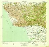
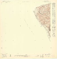
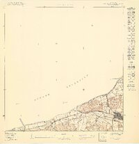
Other maps of this area

1937 · Aguadilla
USGS Topo · 1:20,000

1941 · Rincon
USGS Topo · 1:30,000

1941 · Rincon
USGS Topo · 1:30,000

1942 · Aguadilla
USGS Topo · 1:30,000

1947 · Rincon
USGS Topo · 1:30,000

1947 · Rincon
USGS Topo · 1:30,000
1949 · Rincon
USGS Topo · 1:30,000
1950 · Rincon ONO
USGS Topo · 1:10,000
1950 · Aguadilla SO
USGS Topo · 1:10,000
1950 · Rincon SE
USGS Topo · 1:10,000
Featured Places
- Bajío, Aguada
- Sector Rito Ríos, Aguada
- Urbanización Las Casonas, Aguada
- Sector Ruiz, Aguada
- Villas del Palmar, Aguada