
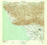
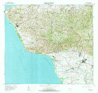
1947 Map of Rincon
USGS Topo · Published 1947This historical map portrays the area of Rincon in 1947, primarily covering Rincón Municipio as well as portions of Mayagüez Municipio, Añasco Municipio, Moca Municipio, and Aguada Municipio. Featuring a scale of 1:30000, this map provides a highly detailed snapshot of the terrain, roads, buildings, counties, and historical landmarks in the Rincon region at the time. Published in 1947, it is the sole known edition of this map.
Find a feature on this map
102 named features on this map. Tap any name to fly to it.
Don’t see what you’re looking for? This feature index may not catch every label — zoom into the map to look around manually.
Map Details
Editions of this 1947 Rincon Map
This is the sole edition of this map. No revisions or reprints were ever made.
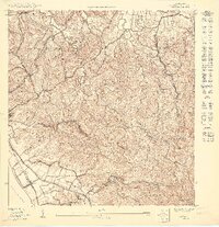
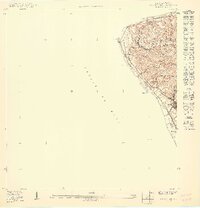
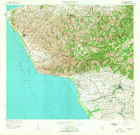
Historical Maps of Sector García Through Time
11 maps found

1941 Rincon
Rincón Municipio, PR

1941 Rincon
Rincón Municipio, PR

1947 Rincon
Rincón Municipio, PR
1947 Rincon
Rincón Municipio, PR
1949 Rincon
Rincón Municipio, PR
1950 Rincon NO
Rincón Municipio, PR
1950 Rincon ONO
Rincón Municipio, PR
1955 Rincon
Rincón Municipio, PR
1966 Rincon
Rincón Municipio, PR
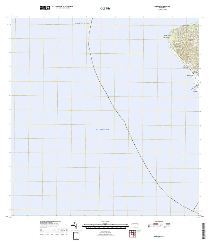
2024 Rincon OE W
Rincón Municipio, PR
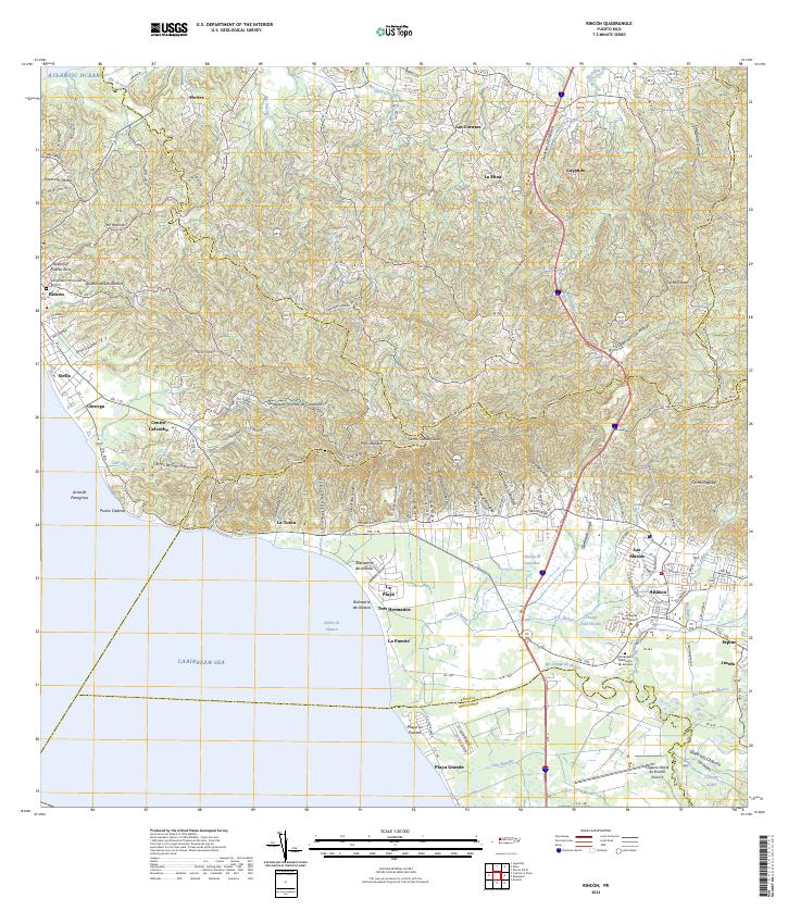
2024 Rincon
Rincón Municipio, PR